Revolutionize Your Projects with Plansrow’s BIM Modeling Services
Streamline Your Construction Process with Precision and Clarity
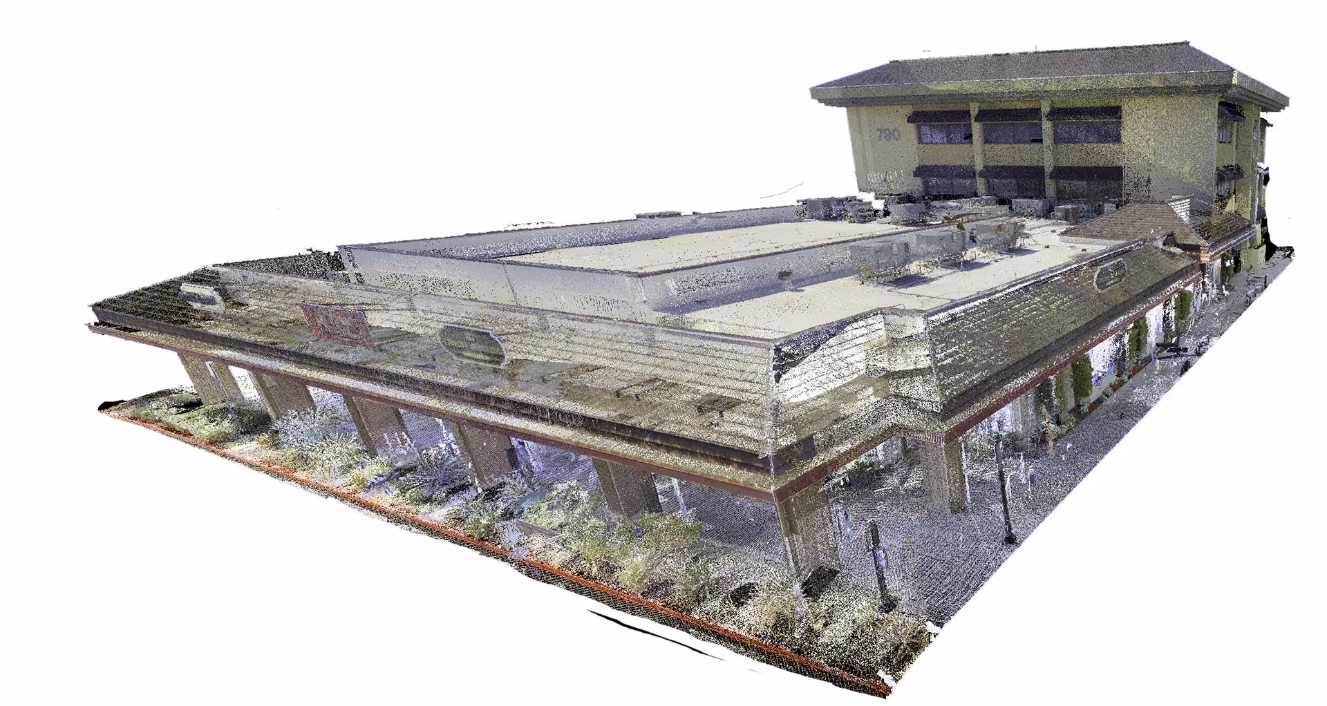
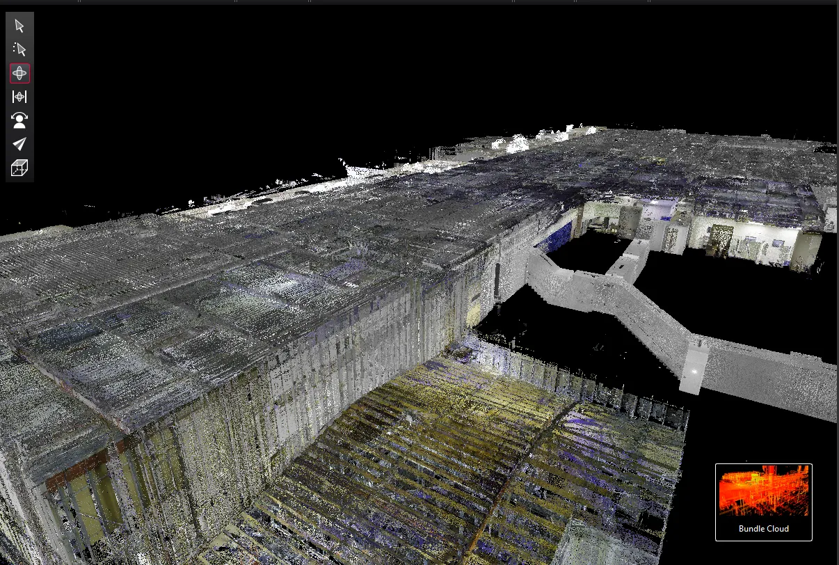
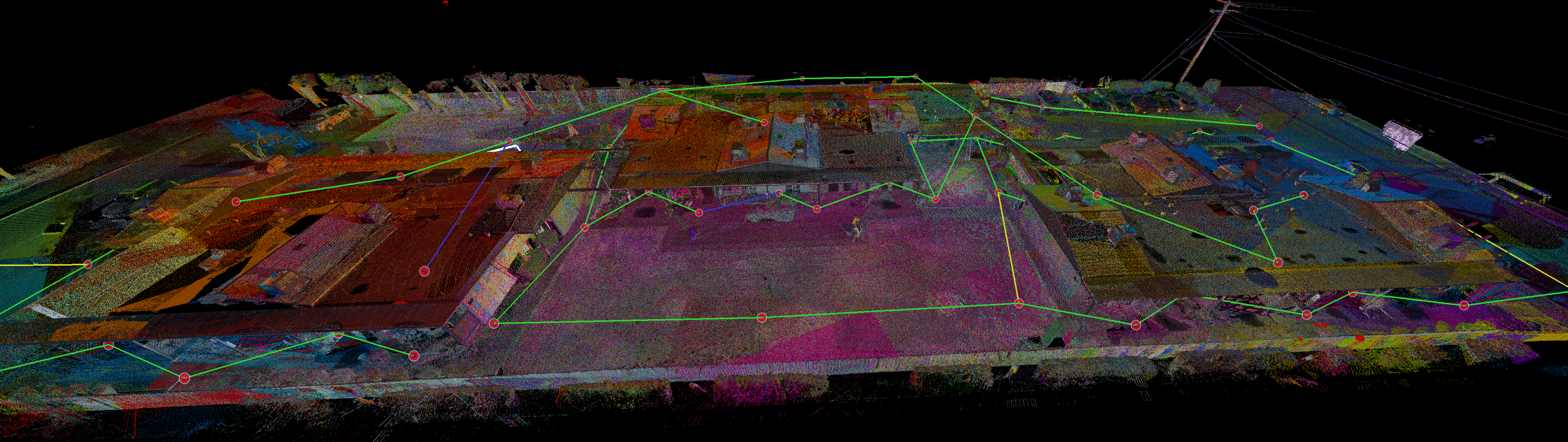
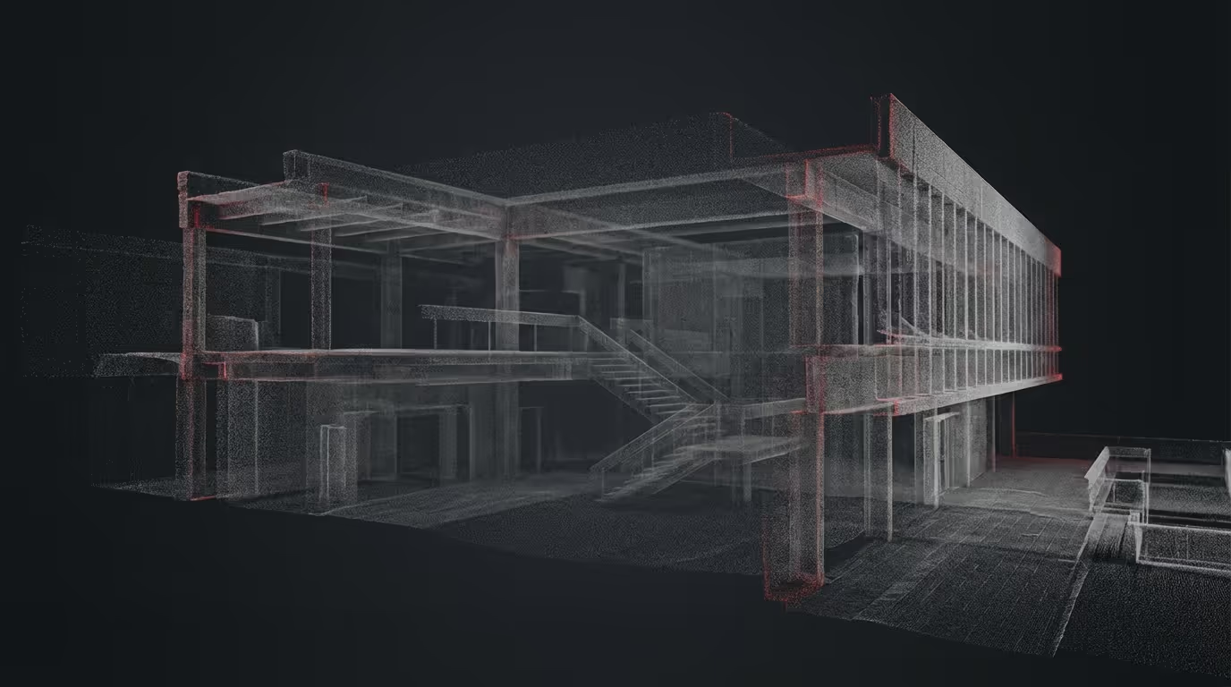
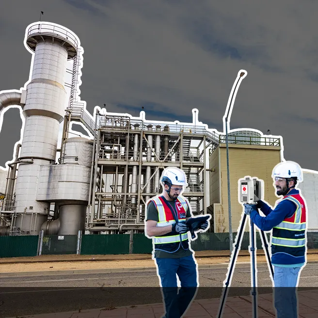
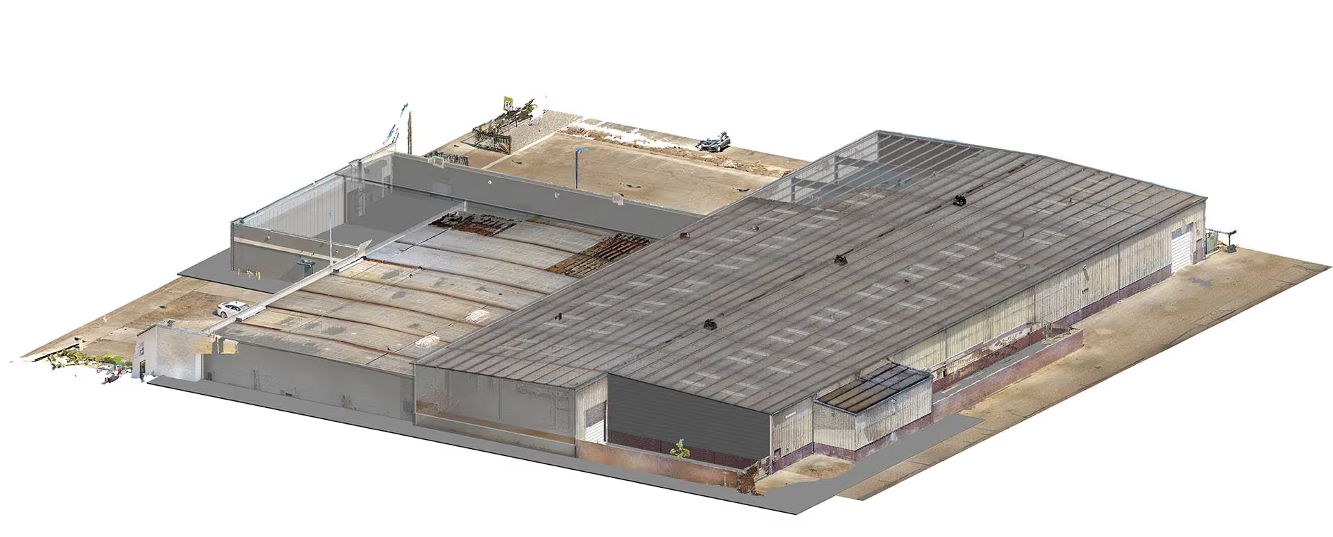
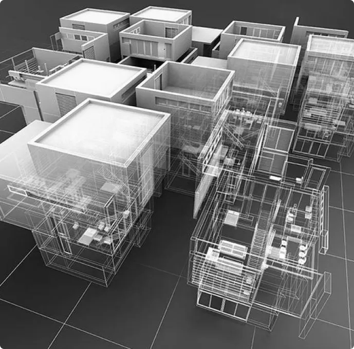
At Plansrow, we understand the challenges that come with managing intricate building projects. That’s why we offer cutting-edge BIM modeling services to help you boost productivity, reduce errors, and maintain clarity at every project stage. Whether you need expert Revit drafting, a reliable blueprint service, or a skilled AutoCAD drafter, our team delivers unmatched precision tailored to your requirements.With Building Information Modeling (BIM), you can seamlessly plan, visualize, and execute your projects. By consolidating all project components into a unified, accurate model, BIM minimizes rework, enhances collaboration, and streamlines communication among stakeholders. Trust Plansrow to overcome common construction obstacles and deliver your project to the highest standards—on time and within budget.Take advantage of our expertise in BIM modeling services, blueprint services, and skilled AutoCAD drafters to revolutionize the way you build.

.svg)
.svg)
.svg)


.svg)


.webp)
.webp)
.webp)


.webp)


.webp)


.webp)
.svg)