How Does 3D Laser Scanning Create Accurate As-Built Drawings for Existing Buildings in San Francisco?
3D laser scanning creates accurate as-built drawings by capturing a millimeter-accurate point cloud of an existing building in a single site visit, then converting that point cloud into dimensioned floor plans, elevations, sections, and MEP diagrams. Explore Plansrow's as-built documentation services and BIM modeling from scan data for architects and engineers in San Francisco, CA.
What Happens During a 3D Laser Scanning Field Session for an Existing Building in San Francisco?
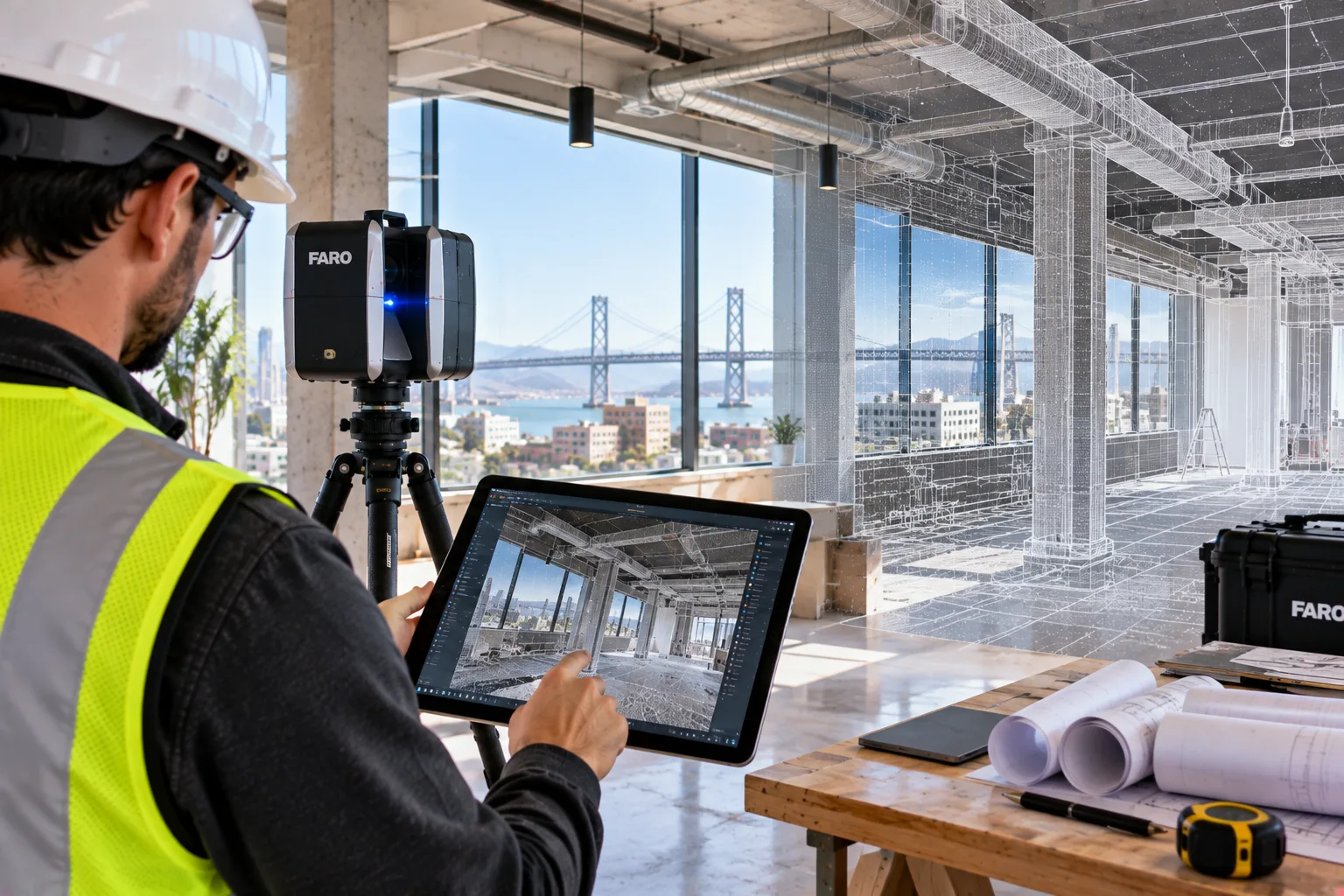
A Plansrow 3D laser scanning field session for an existing building in San Francisco follows a structured process designed to capture complete spatial data with minimal site disruption. Before arriving on-site, our field team reviews the building floor plans, access constraints, and any phasing requirements that affect which areas can be scanned and in what sequence. On-site, the team sets up Leica professional LiDAR scanners at multiple positions throughout the building, capturing a 360-degree point cloud from each position. The scanner rotates automatically and records millions of individual distance measurements per minute, building a dense point cloud sphere at each scan setup.
After field capture is complete, the individual scan positions are registered together — aligned to a common coordinate system using target references placed throughout the building during scanning. This registration process is performed by Plansrow's technical team and verified for positional accuracy before the unified point cloud is transferred to production. The result is a single, complete point cloud that represents the entire building at millimeter accuracy, with no coverage gaps, no estimated dimensions, and no ambiguity about the actual spatial geometry of walls, floors, ceilings, structural elements, and MEP systems.
How Is a Point Cloud Converted into As-Built Drawings for San Francisco Construction Projects?
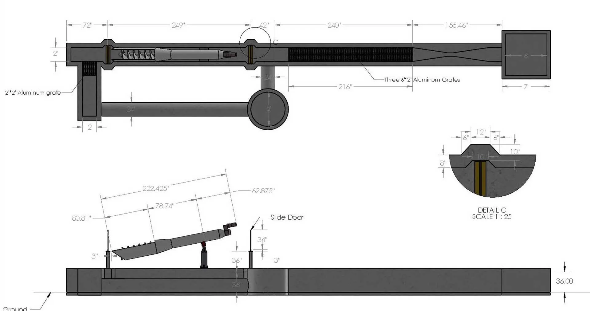
Converting a point cloud into as-built drawings is a specialized production process that Plansrow's team performs in Autodesk Revit and AutoCAD, using the point cloud as a spatial reference for every drafted element. For floor plan production, the point cloud is sliced at the standard cut plane height to reveal wall locations, column positions, door and window openings, and floor-level MEP equipment. Production drafters trace these elements from the point cloud slice with dimensional precision, building a fully annotated floor plan that reflects the actual field geometry rather than the design intent of original construction documents.
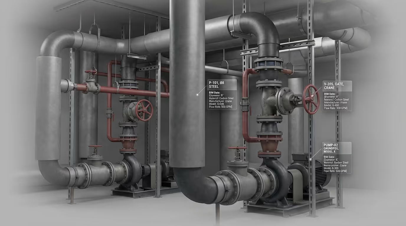
Elevations and sections follow the same process, with point cloud sections cut at the appropriate location and the production team drafting from the visible geometry. MEP routing diagrams are produced by tracing pipe and duct runs through the point cloud at the ceiling cavity level, capturing routing paths, equipment positions, and clearance dimensions. Every dimension in the final drawing set is referenced back to the point cloud, which remains available for any future query. Learn more about Plansrow's scan-to-BIM workflow for projects that require Revit models rather than CAD drawing sets.
What Level of Accuracy Can Architects and Engineers Expect from Laser-Scanned As-Built Drawings?
Architects and engineers commissioning as-built drawings from Plansrow can expect millimeter-level positional accuracy throughout the drawing set, derived from Leica professional-grade LiDAR scanning equipment — the highest-precision hardware available in the commercial scanning market. This means that every wall location, column centerline, ceiling height, beam soffit elevation, pipe centerline, and floor-to-floor dimension in the drawing set is verified against field-captured spatial data, not assumed from original construction documents or estimated from rough field notes.
For renovation design and permit applications, this accuracy standard means that architects can place structural elements, MEP systems, and interior partitions in their designs with confidence that the existing conditions baseline reflects reality. For engineering firms, it means that MEP system modifications, structural analyses, and coordination models are built on a verified foundation rather than a potentially-incorrect assumed baseline. Plansrow has delivered this accuracy standard across more than 3 million square feet of documented space for clients including the US Navy, Lennar, and 4-Creeks. Request an instant quote from Plansrow's as-built documentation team for your San Francisco project.
Frequently Asked Questions
A point cloud is a dense collection of individual data points, each with a precise X, Y, Z coordinate, that together form a complete three-dimensional digital representation of a building or space. During a 3D laser scanning session, Plansrow's field team captures millions of these points across every visible surface of the existing building. The resulting point cloud is then used by Plansrow's production team as a reference base for drafting as-built drawings — floor plans, elevations, sections, and MEP diagrams — with every dimension derived from measured point cloud data rather than manual field sketches or estimated figures.
As-built drawings produced from Plansrow's 3D laser scanning achieve millimeter-level positional accuracy, derived from Leica professional-grade LiDAR equipment. Every dimension in the drawing set is referenced back to the point cloud, which is itself registered and quality-checked before production begins. This level of accuracy significantly exceeds what is achievable through traditional field measurement for most commercial and institutional building projects in San Francisco. Our production team performs a quality review against the source point cloud before any drawing set is released to ensure dimensional consistency throughout the deliverable.
Plansrow delivers as-built drawings in AutoCAD DWG format with organized, standardized layers, and includes a PDF export set for all deliveries. For clients working in Revit, our point cloud files are provided in RCP and RCS formats that link directly into Revit for reference during design. We can also produce as-built documentation as a Revit model at your specified Level of Development if your project requires a full BIM deliverable. Plansrow works with your team during scoping to define the exact deliverable format that fits your firm's workflow and project requirements.
The timeline for producing as-built drawings from a 3D laser scan in San Francisco depends on the building's size, the complexity of the deliverable, and any access or phasing constraints on the scanning session. A typical commercial floor can be scanned in hours and the as-built drawings can be ready within one to three business days. Larger buildings, full MEP as-built documentation, or complex institutional structures may require more time. Rush delivery is available for permit-critical or deadline-driven projects. Plansrow provides timeline estimates with every project quote.
Yes. The point cloud data captured during a Plansrow scanning session can be used for multiple deliverables beyond as-built drawings. The same scan data can generate a Revit BIM model at any Level of Development, produce Matterport virtual tour documentation for marketing or leasing purposes, support structural or MEP engineering analysis, create GIS data layers for site mapping, and serve as a permanent spatial archive of the building at the time of scan capture. This versatility makes laser scanning a higher-value investment than traditional field measurement for building owners, developers, and AEC firms with multiple documentation needs.
Plansrow's 3D laser scanning and as-built documentation services are appropriate for virtually any existing building type in San Francisco and the Bay Area. Our teams have documented commercial office buildings, multi-tenant retail centers, educational campuses, healthcare facilities, government buildings, industrial facilities, historic structures, mixed-use developments, and residential buildings. Specialized scanning approaches handle complex conditions including tight mechanical rooms, multi-level parking structures, open manufacturing floors, and historic buildings with non-standard geometry. Contact our team to discuss the specific building type and conditions for your San Francisco project.
Every Plansrow as-built drawing set undergoes a multi-step quality review before delivery to the client. The point cloud registration is verified for positional accuracy before production begins. The production team's drawings are reviewed against the source point cloud to confirm dimensional consistency. The final drawing set is checked for layer organization, drawing standard compliance, and completeness relative to the agreed project scope before release. This quality review process is part of every Plansrow project regardless of size and is one of the core reasons that firms like 4-Creeks and LandDesign consistently describe Plansrow's deliverables as "accurate, clean, and on time."


.webp)
.svg)