3D Laser Scanning for Historic Buildings in San Francisco, CA: How to Document Existing Conditions Before Renovation
3D laser scanning is the most accurate and non-invasive method for documenting existing conditions in San Francisco historic buildings before renovation, permitting, or preservation work. Plansrow provides 3D laser scanning services and as-built documentation for historic structures throughout San Francisco and California using Leica professional-grade LiDAR equipment.
Why Is 3D Laser Scanning the Best Method for Documenting Historic Buildings in San Francisco?
San Francisco's historic building stock — Victorian residential architecture, Beaux-Arts commercial buildings, Mission-era institutional structures, and early twentieth-century masonry construction — presents documentation challenges that make traditional field measurement inadequate for the accuracy standards required by preservation architects, structural engineers, and building departments. Historic buildings routinely have walls that are not perpendicular, floors that have settled unevenly over decades, structural elements that deviate from original drawings, and ornamental details that cannot be measured manually without direct physical contact with irreplaceable building fabric.
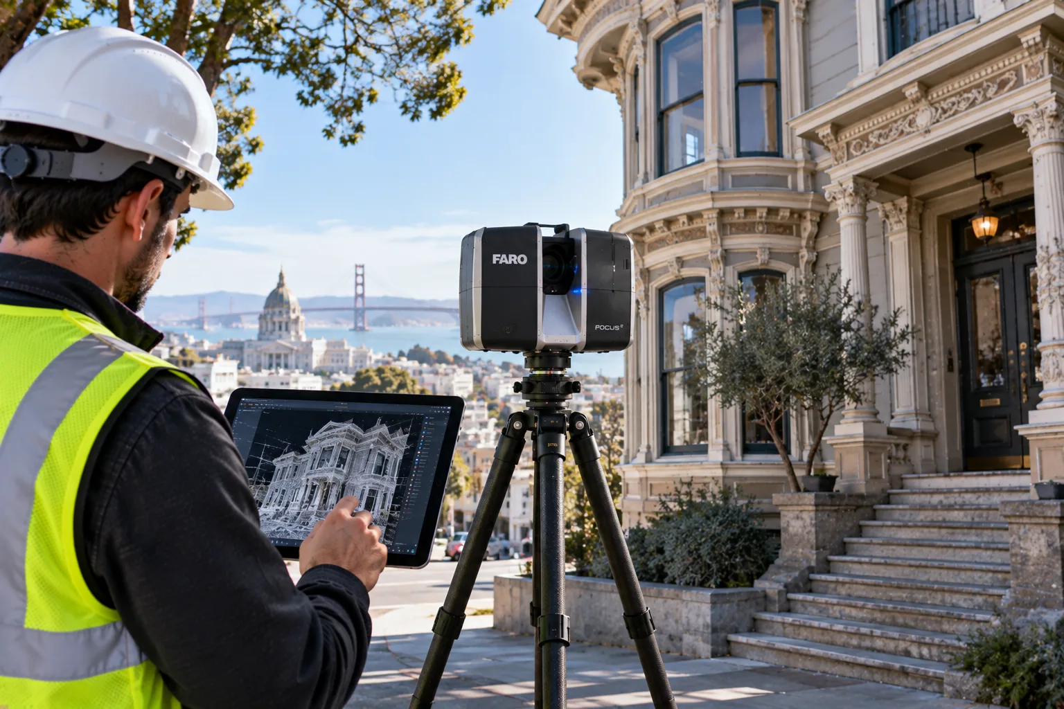
3D laser scanning resolves these challenges by capturing the precise three-dimensional geometry of every visible surface from a safe distance, using Leica LiDAR equipment that records millions of measurements per minute without touching the building. The resulting point cloud is a complete, accurate digital record of the building's existing conditions — every wall plane, every ceiling profile, every ornamental element, every structural member — that preservation architects can use as a design basis, engineers can use for structural analysis, and building departments can reference for permit review. Plansrow has applied this technology to historic structures across California, producing documentation that meets the standards of state and local preservation authorities.
What Existing Condition Data Does Laser Scanning Capture for Historic Preservation Projects in California?
For historic preservation projects in San Francisco and throughout California, a Plansrow 3D laser scan captures the complete spatial dataset needed for renovation design, preservation documentation, and permit application. At the architectural level, the scan records all floor plan geometry at every building level, including wall thicknesses, partition locations, door and window positions, ceiling heights, and room configuration. Exterior documentation captures facade geometry, window profiles, ornamental cornice and detail dimensions, and overall building massing. Interior architectural elements — plasterwork, wood paneling, decorative columns, arched openings — are captured with the same millimeter accuracy as structural and MEP elements.
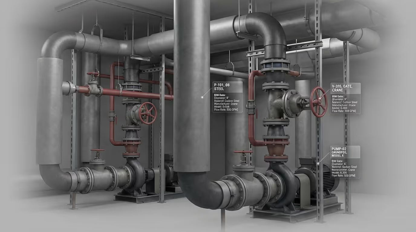
For structural assessment purposes, the scan captures the location and visible geometry of structural walls, columns, beams, and floor systems, providing the engineering team with field-accurate dimensional data for seismic analysis, load path assessment, and renovation planning. MEP systems visible in the existing space are documented through their routing path and equipment locations. The result is a comprehensive existing-conditions dataset that supports every consultant on the project team — architecture, structural, mechanical, electrical, plumbing — from a single field capture session. Learn more about Plansrow's BIM modeling services for converting historic building scan data into Revit models.
How Does Laser Scan Documentation Support the Renovation Permit Process for Historic Structures in San Francisco?
Renovation permit applications for historic buildings in San Francisco require documentation that accurately represents the existing conditions of the structure before any proposed work. The San Francisco Department of Building Inspection and the California State Historic Preservation Office evaluate proposed renovation scope against the existing building's documented conditions to assess structural impacts, code compliance implications, and effects on historic character-defining features. As-built drawings that do not accurately reflect actual field conditions can result in permit application delays, requests for additional documentation, or approval of a scope that conflicts with field reality and generates change orders during construction.
Plansrow's laser scan-based as-built documentation provides the field-accurate drawings that historic building permit applications require. Because every dimension in the drawing set is derived from measured point cloud data, the documentation reflects actual field conditions rather than assumptions — reducing the risk of permit review questions about dimensional accuracy or scope consistency. For historic renovation projects in San Francisco where regulatory review is thorough and timeline is critical, accurate as-built documentation from Plansrow supports a smoother permit process. Contact Plansrow's San Francisco team to discuss documentation requirements for your historic building project.
Frequently Asked Questions
3D laser scanning is the preferred method for documenting historic buildings in San Francisco because it captures complete, millimeter-accurate spatial data without physical contact with the building fabric. Historic masonry, ornamental plasterwork, carved woodwork, and other irreplaceable building elements can be fully documented from a safe scanning distance using Leica LiDAR equipment, with no risk of damage from measurement tools or extended physical access. The resulting point cloud captures the exact geometry of complex curved surfaces, irregular wall planes, ornate cornices, and non-standard structural elements that are extremely difficult to document accurately with traditional field measurement methods.
For historic preservation projects in San Francisco, 3D laser scanning captures the complete three-dimensional geometry of the existing building — including floor plans at every level, ceiling heights and profiles, roof geometry, exterior facade dimensions and ornamental details, window and door locations and profiles, interior architectural features, structural elements, and visible MEP systems. The resulting point cloud provides a millimeter-accurate digital record that preservation architects can use for documentation compliance, renovation design, restoration planning, and structural analysis, with no element of the existing conditions left to assumption or estimation.
San Francisco's Department of Building Inspection and the California State Historic Preservation Office generally accept accurately produced as-built drawings derived from 3D laser scanning as documentation for historic renovation permit applications, provided the drawings meet the dimensional, formatting, and submittal requirements specified for the project type and jurisdiction. Plansrow's as-built drawing sets are produced to professional AEC documentation standards that meet the requirements of California building departments. We recommend confirming specific submittal requirements with your project's building department contact before scoping the documentation deliverable.
For architects designing renovations in San Francisco historic buildings, laser scanning provides a design basis that reflects the actual existing conditions rather than the design intent of original documents that may be a century or more out of date. Historic buildings frequently have walls that are not parallel, floors that are not level, columns that are not centered on the grid, and structural elements at locations that do not match original drawings. A laser scan reveals all of these conditions before design begins, allowing architects to make accurate decisions about structural interventions, MEP system routing, interior partition placement, and accessibility modifications without discovering conflicting field conditions during construction.
Yes. The point cloud data captured from a Plansrow 3D laser scan of a historic building can support structural engineering analysis by providing accurate geometry data for existing structural elements — wall thickness and masonry composition locations, timber framing dimensions and span geometry, concrete slab thickness and configuration, column locations and cross-sections, and roof structure geometry. For structural engineers evaluating seismic upgrade requirements, planning load path modifications, or assessing the condition of existing structural systems in San Francisco historic buildings, this field-accurate geometry data is a significant improvement over relying on original structural drawings that may not reflect the structure as built.
Plansrow's field team is experienced in working within occupied and operationally sensitive historic buildings across San Francisco and California, including educational institutions, government facilities, healthcare campuses, and active commercial properties. Our scanning equipment operates quickly and quietly with minimal disruption to building occupants, and our field team can coordinate phased scanning across multiple sessions if building access must be managed around occupancy schedules. For particularly sensitive historic fabric — museum-quality interiors, fragile plasterwork, or archival materials — our team plans scanning setups to maintain safe distances throughout the capture session.
Plansrow provides instant online quotes for 3D laser scanning and as-built documentation projects across San Francisco and the Bay Area, including historic building projects. You can use the instant quote tool at plansrow.com to enter your project details and receive fast, customized pricing. You can also reach the Plansrow San Francisco team at (800) 201-0930 to discuss your historic building project requirements and get a same-day response. Our team can advise on the scanning approach and deliverable format best suited to your specific historic structure and renovation scope.


.webp)
.svg)